

Overview
Ba Vì is essentially an isolated mountain massif (a residual mountain) rising in the middle of the vast lowland plains along the Red River and the Đà River. It is not continuously connected to the Hoàng Liên Sơn range but stands apart as a separate mountain block. Ba Vì has the form of a truncated cone, with steep slopes (an average gradient of 25–35 degrees), and gradually becomes gentler toward the western slope (toward the Đà River).
Characteristics
Bedrock: Mainly composed of ancient metamorphic rocks and igneous rocks (granite). This explains why the rocks in Ao Vua and Khoang Xanh streams are often very hard, large, and smooth.
Laterite: In the foothill areas (hill and mound regions such as Đường Lâm and Sơn Tây), the characteristic geology is laterite. This is the result of intense tropical weathering, during which iron and aluminum accumulate and harden into rock-like material.
Ba Vì lies adjacent to the Đà River Fault, one of the largest and most important geological faults in northern Vietnam. The uplift of Ba Vì Mountain and the subsidence of the Đà River valley provide clear evidence of strong tectonic movements that occurred millions of years ago. This contrast in elevation is what creates the majestic “high mountains – deep river” landscape.
The mountainous area is mainly covered by yellow-red ferralitic soils, rich in humus at higher elevations. This type of soil is well suited for tea plants and medicinal herbs, which explains why Ba Vì is famous for traditional herbal medicine.
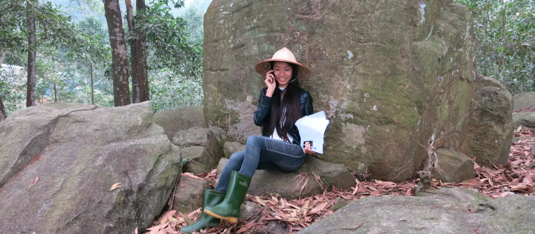
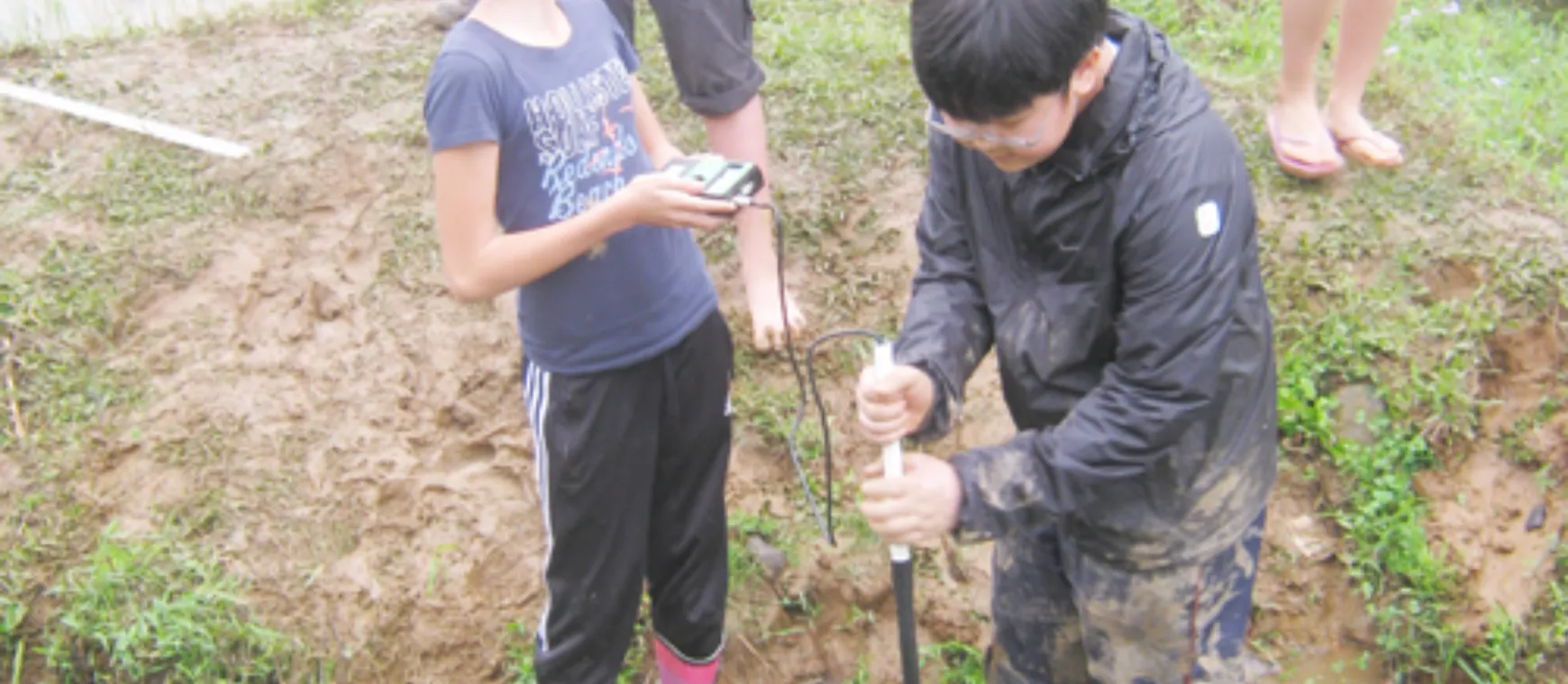
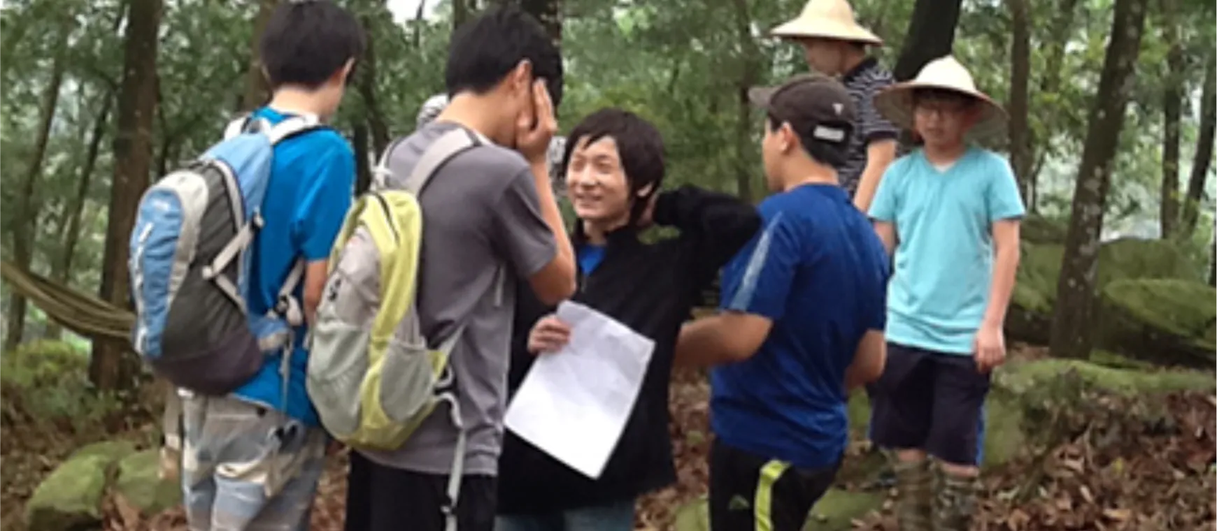
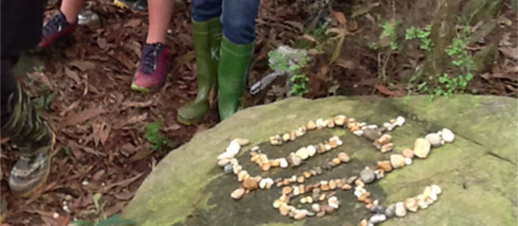
Activity
- Overview Seminar on the Geological History of the Ba Vì Region.
- Field practice involving stream exploration, photograph, sample and compare different types of soils and rocks, and report on their characteristics.
- Return back to homestead, study various types of gem stones, use UV light to differentiate the stones.
- (Optional) Draw in collected stones and bring back as souvenir.